Skip to content

Real Guess · Wednesday, September 30

Where in America is this trail?

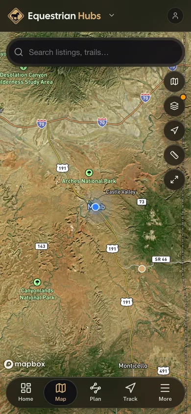
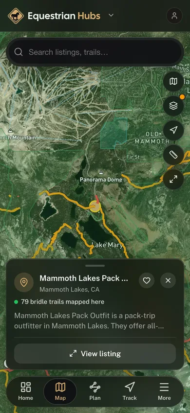
A drone drops you over a real trail from the Equestrian Hubs map. Look around the real terrain, then pin where you think you are. Five trails a day, the same five for everyone, and the closer you land the more you score.

  1. Step 1

    Look around

    The drone circles the spot. Drag to look for yourself.

  2. Step 2

    Drop your pin

    Tap the map where you think the drone is.

  3. Step 3

    See how close

    The trail lights up, and the drone flies along it.

Real satellite imagery of real trails. Free, no account, and it plays on your phone.

More to play: all games.
In your pocket

Take every trail with you.

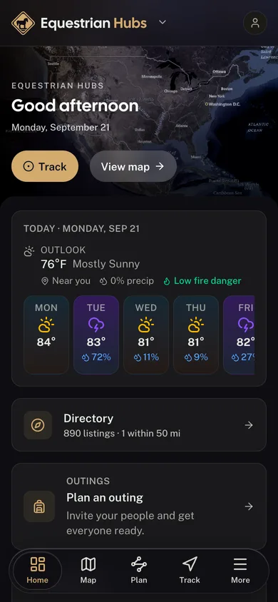
Free, no account needed. Trail maps, ride tracking, and public-land boundaries in your pocket.

  • Every stable and trail system in your pocket

  • GPS-track every ride, hands-free

  • Public-land boundaries with no subscription

  • GPS tracking that keeps recording beyond the trailhead

The Equestrian Hubs app dashboard

For operators

Run your equestrian business?
Launch your branded surface.

Get your own branded surface in the Equestrian Hubs app and a directory listing in minutes. Bookings, digital waivers, and your whole operation live in one cockpit.