South Fork Payette River Trail
13.4 mi4 stops
Around here
Around South Fork Payette River Trail
Loading map…
Data Source: Recreation.gov · Source: USGS GNIS · Public land: USGS PAD-US · Forest roads: USDA Forest Service MVUM · BLM routes and areas: Bureau of Land Management (simplified for web display)
About this riding route
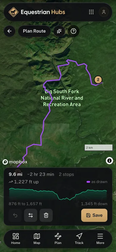
A 13.4-mile moderate riding route at Sawtooth Wilderness Outfitters, mapped from OpenStreetMap.
Stops
- 1
Start
- 2
44.0722, -115.1296
- 3
44.0390, -115.0979
- 4
Finish
More riding routes
Browse all routesBig South Fork Ride
Tennessee10.1 miModerate
View routeCuster State Park Ride
South Dakota17.5 miModerate
View routeShore-to-Shore Trail
Michigan168.4 miModerate
View routeRiver to River Trail
Illinois20.9 miModerate
View routeCentennial Trail, Black Hills
South Dakota34.8 miModerate
View routeCross Florida Greenway Ride
Florida21.3 miEasy
View route