Rhodes Valley Outfitters
Rhodes Valley Outfitters
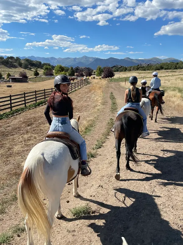
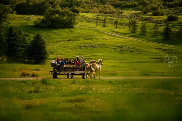
Outfitter / Pack TripsTrail RidingPack Trips
About
Gallery
Stable details
- Disciplines
- Trail Riding, Pack Trips
Rider reviews
4.6on Google, 9 reviews
Read the reviews on Google MapsRating from Google.
Around here
Around Rhodes Valley Outfitters
Loading map…
- Scenic Bywayeasy · Mixed · 9.1 mi · Motorcycle, ATV · Open Jun 1 to Oct 31
- Middle Fork Weber Rivermoderate · Mixed · 7.6 mi
- Shingle Creekmoderate · Mixed · 6.0 mi
- Log Hollow Noblettsmoderate · Mixed · 5.7 mi · Motorcycle · Open Jun 1 to Oct 31
- Cedar ATV Trailmoderate · Mixed · 4.8 mi
- Yellow Pinemoderate · Mixed · 4.6 mi
- Yellow Pine CampgroundCampground · Good for horse trails5.7 mi
- Shingle Creek ATV CampgroundCampground · Good for horse trails8.3 mi
- Pine Valley North Wasatch CachGroup camp · 3 sites9.5 mi
- Lower Provo CampgroundCampground · Good for horse trails9.5 mi
- Ledgefork Guard StationCabin rental10.5 mi
- LedgeforkCampground · 71 sites10.5 mi
- Uinta-Wasatch-Cache National ForestRecreation area6.6 mi (opens in a new tab)
- Jordanelle State ParkRecreation area8.4 mi (opens in a new tab)
- Jordanelle ReservoirRecreation area9.1 mi (opens in a new tab)
- Rockport State ParkRecreation area9.8 mi (opens in a new tab)
- Rockport ReservoirRecreation area11.7 mi (opens in a new tab)
- Wasatch Mountain State ParkRecreation area14.6 mi (opens in a new tab)
Before you go
Data Source: Recreation.gov · Source: USGS GNIS · Public land: USGS PAD-US · Forest roads: USDA Forest Service MVUM · BLM routes and areas: Bureau of Land Management (simplified for web display)
Current conditions
Today · Fri
95Go/ 100
CloudyHigh 49°F, low 32°FRain 0%Wind 7 kt, gusts 10
Air quality
42 Good
Heber monitor, 21 km
Forecast from Open-Meteo global models (NOAA & ECMWF). Air quality: Utah Department of Environmental Quality via EPA AirNow. Preliminary data, not verified.
More stables in Utah
Also nearby
Other ways to get outside within about an hour of here.


Free tools