Danada Equestrian Center - Forest Preserve District of DuPage County
About
Gallery
Stable details
- Disciplines
- Riding Lessons, Dressage, Hunter / Jumper
Rider reviews
What riders are saying
- AAlissa DiMaggio· 4 months ago
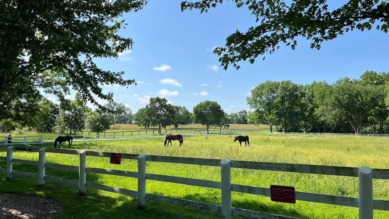
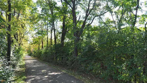
I love it here so much. Beautiful and peaceful with pretty trails to walk behind. One trail is 1 mile loop and the other one is a 6 mile loop. They are easy walks with very slight hills so it’s great for walking and talking with a friend or for some zen time. The horses are such an amazing extra special treat to be able to look at and admire their beauty. The picket fences are a cute touch.
- DDjordje· 11 months ago
This is a great place to take a walk with plenty of trails. There are 2 barns with plenty of horses and a bunch of fields for when they're out. The parking here is free and always an open spot. The trails here extend for miles (I believe 20+ miles total) as it connects to Blackwell and the surrounding parks/lakes.
- HH R· 3 months ago
I used to ride here for horsemanship classes about 25 years ago. This is an amazing place. The educators are so knowledgeable and they were incredibly patient. I recall loving their methods as well. Thiley have beautiful stables, horses, and pastures. I highly recommend even just a visit to walk around and ask some questions. Try horsemanship classes, they are so calming and unique how close you get to the horses. And get to know their personalities.
- JJR Photon· a year ago
Relaxing area for a walk without crowds. Peaceful and serene all year, with the additional bonus of the horses being present on the grounds. Good amount of parking.
Reviews powered by Google. Content belongs to its respective authors.
Current conditions
High today
64°F
Wind
10 kt
Gusts 19 kt
Rain chance
1%
Week ahead
Forecast from Open-Meteo global models (NOAA & ECMWF).
More stables in Illinois

Also nearby
Other ways to get outside within about an hour of here.
Free tools
Your free outdoor toolkit

Everything Map
Listings, trails, spots, clubs and public land on a single full-screen map. Switch layers on and off, then tap any point for the details.
Open Everything MapTrail Explorer
Browse a community map of named trails with distance, difficulty, and where each one starts.
Open Trail ExplorerRoute Planner
Drop stops on a map and watch distance and drive time add up. Export a GPX or share the link.
Open Route PlannerRiding Clubs
Browse local clubs with meeting info and how to join, or start your own for free.
Open Riding ClubsLive Conditions
Real-time conditions spot by spot, pulled from public weather feeds, before you commit to the drive.
Open Live ConditionsWebcams
Live camera feeds from popular spots. Eyeball the crowd, the surf, or the snow before you go.
Open Webcams